How to get started with OpenStreetMap (OSM) data in Postgres/PostGIS databases using docker.
Required tools/data
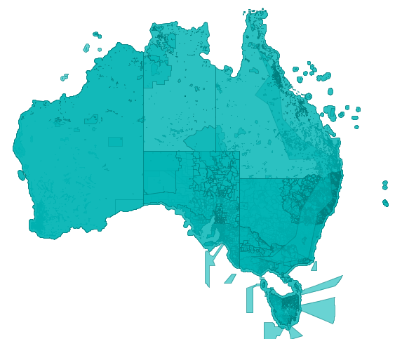
- Download an OSM dataset for the region you are interested in from http://download.geofabrik.de/, This guide assumes you have downloaded the australian-latest data set but any region will work that fits inside your database storage
- Have docker installed on your machine
Installing PostGIS
Using docker we can simplify the installation of Postgres & PostGIS and use the same installation on any operating system. The mdillon/postgis Docker image extends the official Postgres image with PostGIS extension’s to support spatial data queries.
Start the database with
docker run --name postgis-dev -p 5444:5432 -e POSTGRES_PASSWORD=mysecretpassword -d mdillon/postgis
Create a GIS database to load the data into
Connect to the database
docker run -it --link postgis-dev:postgres --rm postgres sh -c 'exec psql -h "$POSTGRES_PORT_5432_TCP_ADDR" -p "$POSTGRES_PORT_5432_TCP_PORT" -U postgres'
Create the ‘GIS’ database and enable postgis extension for it
postgres=# CREATE DATABASE example_gis;
postgres=# \connect example_gis;
gis=# CREATE EXTENSION postgis;
gis=# \q
Note: \q is used to exit the psql shell
Load the data
If find yourself regularly loading data into PostGIS, using a native install of osm2pgsql may be more suitable and faster than the dockerized version shown below
When following Docker instructions replace 172.17.0.2 with the ip address of the postgis container, this can be found with docker inspect
docker inspect postgis-dev
[
    {
        "Id": "f6090...",
        ...
            "MacAddress": "02:42:ac:11:00:AA",
            "Networks": {
                "bridge": {
                    ...
                    "Gateway": "172.17.0.1",
                    "IPAddress": "172.17.0.2",
                    ...
                }
            }
        }
    }
]
Docker Windows: (Drive must be shared in Docker settings, assuming files are stored in C:\Data )
docker run -v c:/data/:/data -i -t --rm openfirmware/osm2pgsql -c 'osm2pgsql -cW /data/australia-latest.osm.bz2 --port 5432 --host 172.17.0.2 --username postgres'
Docker Linux: (assuming files are stored in /data/ )
docker run -v /data/:/data -i -t --rm openfirmware/osm2pgsql -c 'osm2pgsql -cW /data/australia-latest.osm.bz2 --port 5432 --host 172.17.0.2 --username postgres'
Native osm2pgsql:
osm2pgsql -cW /data/australia-latest.osm.bz2 --port 5444 --host localhost --username postgres
Expected Output:
osm2pgsql SVN version 0.87.2 (64bit id space)

Password:mysecretpassword
Using built-in tag processing pipeline
Using projection SRS 900913 (Spherical Mercator)
Setting up table: planet_osm_point
Setting up table: planet_osm_line
Setting up table: planet_osm_polygon
Setting up table: planet_osm_roads
Allocating memory for dense node cache
Allocating dense node cache in one big chunk
Allocating memory for sparse node cache
Sharing dense sparse
Node-cache: cache=800MB, maxblocks=102400*8192, allocation method=3
Mid: Ram, scale=100

Reading in file: /data/australia-latest.osm.bz2
Processing: Node(37987k 184.4k/s) Way(2540k 11.19k/s) Relation(0 0.00/s)
Finished
You now have a local copy of the OSM maps data for your selected region, this data can be used with GIS systems such as QGIS or visualized with tools like OpenJump or used during analysis and software development.
Leave a comment if you would like me to continue this as a series of working with spatial data.